At the Beginning, I want to show the map of all San Antonio, from Lakeshore Avenue and Fruitvale Avenue, to I-580 and I-880. It will show 15 sub-areas.
I have labeled it as: sanantonionowandthen.com.
I want to show the different time periods. These are based on the Teczno.com/old-oakland/#:
Map of 1877 – Focused on Areas 1860 to 1890
Map of 1912 – Focused on Areas 1890 to 1912
Map of 1936 – Focused on Areas 1913 to 1936
Map of 1950 – Focused on Areas 1937 to 1960
Map of 1967 – Focused on Areas 1960 to 2010
Present Day Map – Areas 2010 and Onward
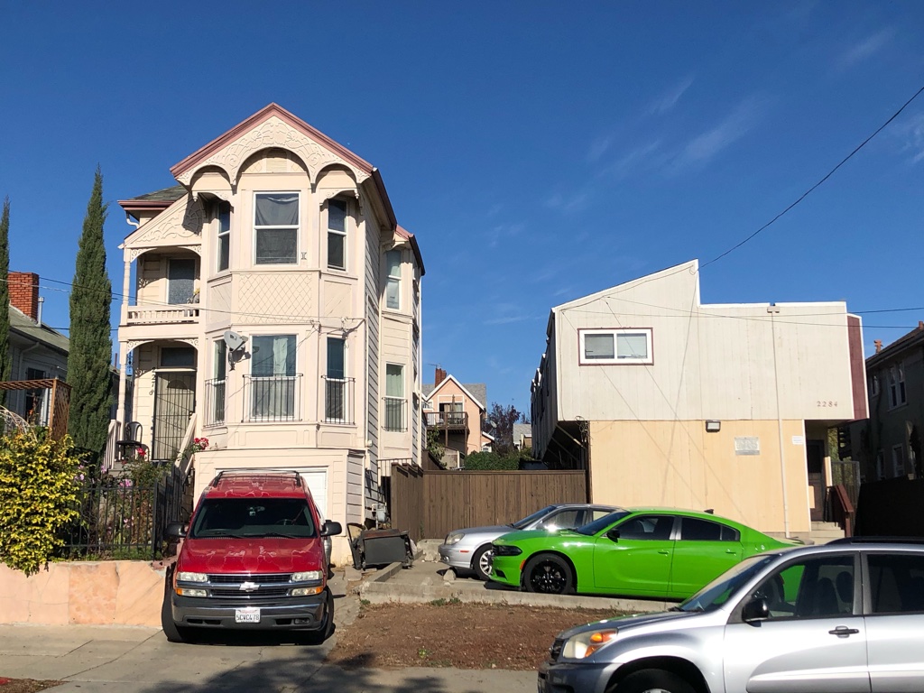
I will show the pictures of each of the 15 sub-areas, from 1877 to Present Day. People can see in every sub-area that all of the different buildings are shown.
I want to have approximately two pictures for each page. Some could be smaller or larger though. All the pictures will start at the earliest photos in 1860, and go to the most recent photos after 2010.